Chennai, Nov 23 : The well-marked low pressure area over southwest and adjoining southeast Bay of Bengal has intensified into a depression, said the Regional Meteorological Centre here.
The depression lies about 550 km southeast of Puducherry and 590 km southeast of Chenani.
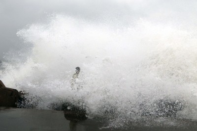
“It is very likely to intensify into a cyclonic storm (Nivar) during the next 24 hours. It is likely to move northwestwards and cross Tamil Nadu and Puducherry coasts between Karaikal and Mamallapuram around the afternoon of November 25 as a severe cyclonic storm with a wind speed of 100-110 kmph gusting to 120 kmph,” the weather department said.
Local cautionary signal number III kept hoisted at Chennai, Cuddalore, Nagapattinam, Ennore, Kattupalli, Puducherry and Karaikal ports.
According to the weather department, on Tuesday, scattered heavy to extremely heavy rain is likely to occur in Nagapattinam, Thanjavur, Tiruvarur, Ariyalur, Mayiladuthurai, Chennai, Tiruvallur, Chengalpattu, Kancheepuram, Tiruchirapalli, Perambalur, Pudukottai, Cuddalore, Villupuram, Vellore, Ranipet, Tiruvannamalai and Kallakurichi districts of Tamil Nadu, and Puducherry’s Karaikal and coastal Andhra Pradesh and Rayalaseema.
Meanwhile Tamil Nadu’s Revenue Minister R.B. Udhayakumar told the media that necessary arrangements have been made to meet the cyclone.
He said six teams of the National Disaster Response Force have been sent to Cuddalore.
Disclaimer: This story is auto-generated from IANS service.