
A few days ago, even as India is in the midst of a lockout due to the impact of Coronavirus, China has released its new official map. Not surprisingly Arunachal Pradesh has been shown in the map as before as part of China and described as southern Tibet. China has been aggressively claiming Arunachal Pradesh to be it’s own in the last few years and ‘protesting’ visits of Indian dignitaries to the state that is an integral part of India. Visas of visitors from Arunachal Pradesh seeking entry to China is not being stamped on their passport but granted on a separate sheet. China has also ‘renamed’ six places in Arunachal Pradesh a few years ago as retaliatory action following the visit of the Dalai Lama to the state. Incidentally, the Chinese aggressors had overrun Arunachal Pradesh in the 1962 conflict but withdrew after cease-fire fearing international pressure from the US and others.
On the face of things, China has nothing to gain from taking over Arunachal Pradesh. At the very end of Tibet and jutting out on the rest of India, China will find it difficult to defend Arunachal Pradesh even if it were to gain control over the region. Then why do the Chinese insist on making an issue out of Arunachal Pradesh? The game is much deeper.
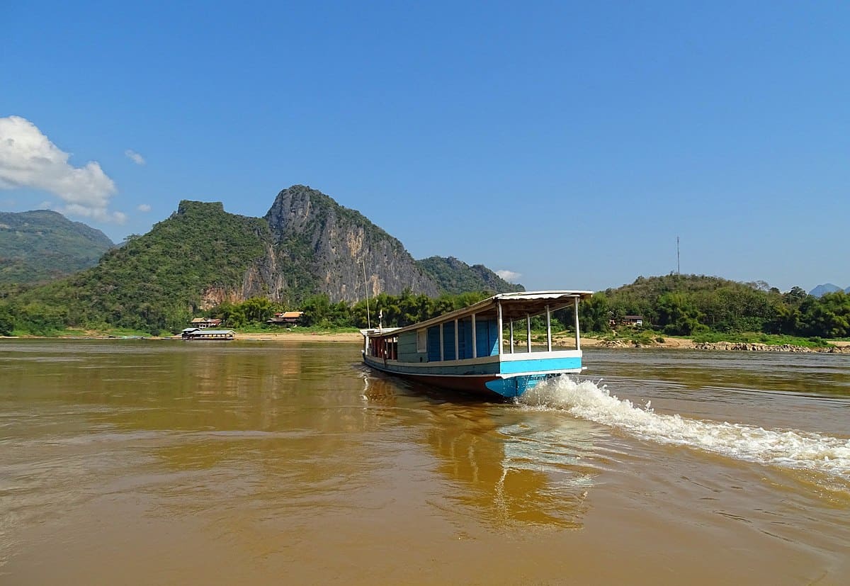
The real Chinese game is to confuse matters and hide its intent as they go on exploiting the resources of Tibet for the development of China. Not commonly known, Tibet standing at a great height is the roof of the world and is as rich in water as the North Pole or the South Pole. As many as 10 major rivers emanate from Tibet and flow into 11 countries! This includes the Indus (from which India gets its name) which flows westwards and wends its way through India and Pakistan to reach the Arabian Sea. The river Brahmaputra rises in Tibet, not very from Indus and flows eastwards for 1500 kilometres before entering India and from there to Bangladesh before draining into the Bay of Bengal. The river Sutlej (which ultimately joins the Indus in Pakistan’s Punjab) also ensues from Tibet and so does the river Ghaghra. The latter river flows for 1000 km before joining the Ganga in India. In terms of volume of water discharged, the Ghaghra is the largest tributary of the Ganga.
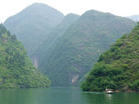
The river Mekong that is the lifeline of Indo- China also arises in Tibet. It flows through Myanmar, Laos, Thailand and Vietnam. Similarly, the river Salween, which flows through Myanmar and Thailand to merge with the Andaman Sea, starts in Tibet.
It is easy to appreciate that with the control over the upper reaches of these major rivers, China can aim to influence the geopolitics of South Asia and Indo China. This is exactly what China is trying to do.
Two rivers from Tibet also flow into China: the Yangtze Kiang and the Yellow. Both are mighty rivers but with the massive demand for water in China for its high population and increased demand for industrialization, this is not enough to feed the needs of the country. This is especially because of the north of the country is water deficient with little rainfall and is part of the Gobi desert. For instance the shortage of water is so acute in Beijing that water has to be recycled for use in households. So from the Chinese point of view it makes sense to divert some waters from the rivers originating from China but flowing into other countries.
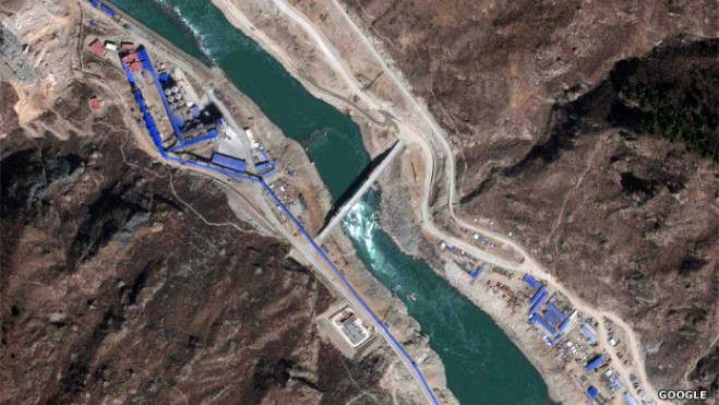
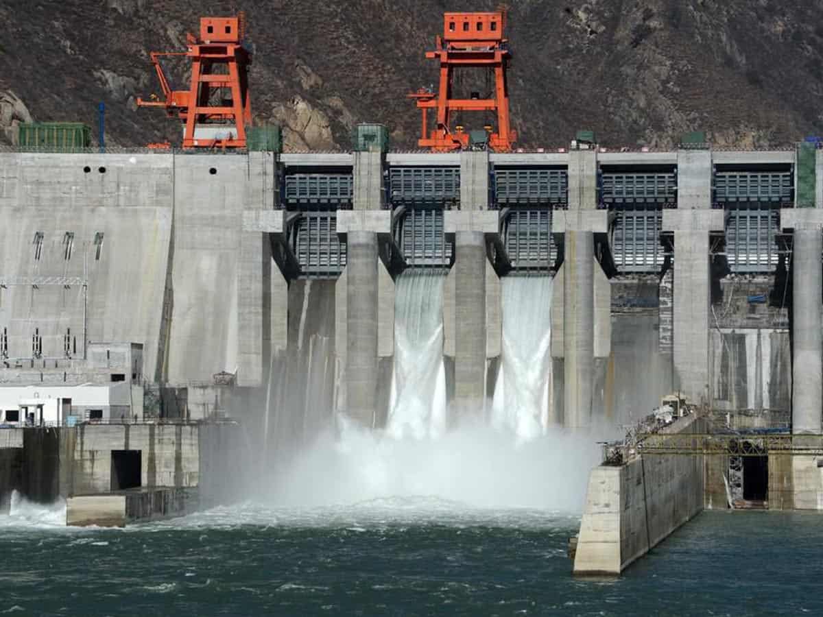
Information from China is very difficult to obtain, but it would seem that they want to exploit the Brahmaputra not only for water but also for generating power. The Brahmaputra ( called Tsangpo or the purifier in Tibet) after flowing parallel to the Himalayas in Tibet takes a break through one of the deepest gorges in the world and in between two snow peaked mountains ( both over 20,000 feet). It then negotiates a hair pin like U turn (called Great Bend) and falls some 8100 feet in 240 km to enter Arunachal Pradesh. Analysts point out that this is a grand canyon deeper than that of Colorado in the US. Analysts point out that at the Great bend the river offers a great opportunity to divert water and generate hydro power of a staggering 38,000 MW. This is what China wants, and has been since the time of Mao Zedong, but yet does not have the technology to install turbines, bore tunnels and lay pipes in the deep gorge that is 4900 meters wide.
But this does not mean that the Chinese will never have the competence to exploit the Brahmaputra. It may take some decades but the Chinese will do so even though it has no water-use agreement with India. Then the green slopes and plains of Assam and Bangladesh will start to dry resulting in an unparalleled ecological disaster. It is needless to say that India should wake up and start working to prevent such an eventuality before it is too late.
Kingshuknag@gmail.com