Washington: With the technological advancement catching unbelievable pace, recent research suggests that space technology can now predict droughts several months in advance.
Scientists from The Australian National University (ANU) have used new space technology to predict droughts and increased bushfire risk up to five months in advance.
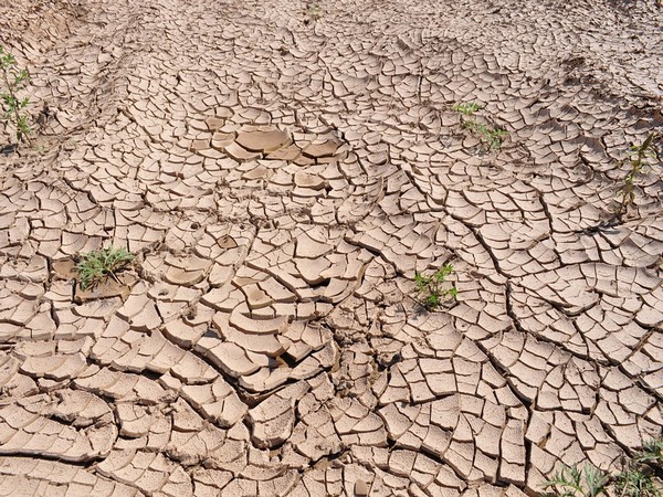
The researchers used data from multiple satellites to measure water below the Earth’s surface with unprecedented precision and were able to relate this to drought impacts on the vegetation several months later.
“The way these satellites measure the presence of water on Earth is mind-boggling,” said Tian, lead author of the study, which was published in the journal of Nature Communications.
“We’ve been able to use them to detect variations in water availability that affect the growth and condition of grazing land, dryland crops and forests, and that can lead to increased fire risk and farming problems several months down the track,” Tian further explained.
According to researchers, combining these data with a computer model simulating the water cycle and plant growth enabled the team to build a detailed picture of the water’s distribution below the surface and likely impacts on the vegetation months later.
“We have always looked up at the sky to predict droughts – but not with too much success,” said van Dijk, one of the lead researchers.
“This new approach – by looking down from space and underground – opens up possibilities to prepare for drought with greater certainty. It will increase the amount of time available to manage the dire impacts of drought, such as bushfires and livestock losses,” Dijk further explained.
The drought forecasts will be combined with the latest satellite maps of vegetation flammability from the Australian Flammability Monitoring System at ANU to predict how the risk of uncontrollable bushfires will change over the coming months.
The team used the GRACE Follow-On satellites, which were developed by American, German and Australian scientists. ANU Professor Daniel Shaddock led the Australian team.
“Combined with measurements of surface water and topsoil moisture from other satellites, this provides the ability to know how much water is available at different depths below the soil,” explained Paul Tregoning, lead researcher of the study.
[source_without_link]ANI[/source_without_link]