Hyderabad: Pre-monsoon activity is set to continue in many parts of Telangana till April 21, as the India Meteorological Department (IMD), Hyderabad, on Tuesday issued a thunderstorm warning for several districts during the next 48 hours. The city witnessed sudden downpours, and heavy thunder, with some places receiving moderate rainfall.
According to the Telangana State Development Planning Society, Shanthi Nagar in Patancheruvu received the highest rainfall of 29 mm followed by 6.3 mm at Ramachandrampuram and 4.5 mm at Vengalrao Nagar. The rainfall led to a drop in maximum temperature to 37.2 degree Celsius, which is 1.2 degree Celsius below normal.
According to the IMD, the rains have started from the trough running from Madhya Pradesh to Marathwada. “Under its influence, light to moderate rains are likely in isolated places in Telangana. After that, the temperature is likely to rise by two to three degrees Celsius above normal,” it predicted. Thunderstorms with lightning are expected in the western parts of the Telangana. Thereafter, temperatures are set to rise with maximum temperature expected to touch 40 degree Celsius by April 25.
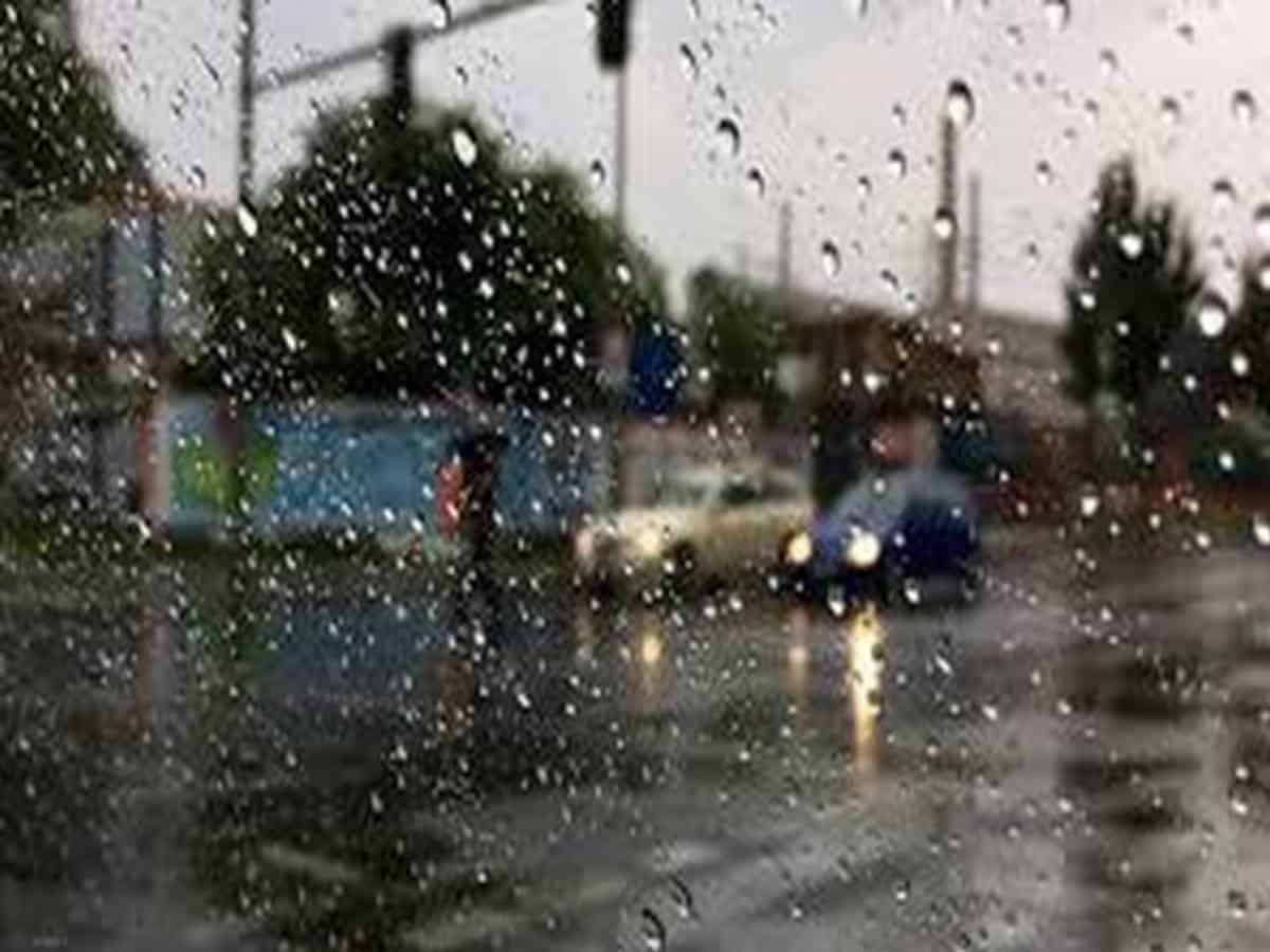
Rains in many parts of Hyderabad on Tuesday
Several parts of the city received thunderstorms, thunder and lightning on Tuesday. Even though it was sunny till noon, the weather cooled down once and for all after 4 p.m. and the sky became cloudy and it rained. The suburbs of Jedimetla, Gajularamaram, Dundigal, Kapra, Suchitra, Kompalli, Qutbullapur, AS Rao Nagar along with Sainikpuri, Neredmet and other places received moderate rain.