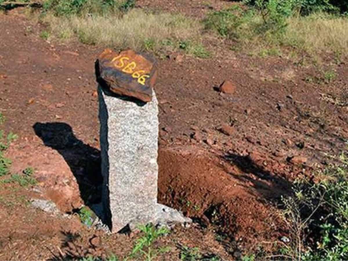
Bengaluru: In a strategic move to safeguard its land interests, the state government has set in motion a plan to demarcate the Karnataka-Andhra Pradesh border line. This decision, rooted in the need for clarity and protection of state grounds, has been prompted by historical controversies, most notably allegations of encroachment during the peak of iron ore mining activities.
In 2016-17 a mining company faced accusations of encroaching 400 meters across the state border, raising concerns about the destruction of border markers. The motive behind this encroachment was purportedly driven by the unavailability of high-quality ore in the state.
Responding to these allegations, the state insisted on a comprehensive examination of the border, leading to the involvement of the Survey of India, a central government agency.
The Survey of India conducted an initial demarcation, but doubts were raised about its accuracy, prompting a complaint to the Prime Minister’s Office (PMO). In response, the PMO has instructed a second round of demarcation.
IIT Kharagpur to get involved
Recognizing the complexity of a boundary survey and the need for specialized expertise, the government has decided to engage a team of experts. Information suggests that the survey department at IIT Kharagpur has the requisite expertise for this task.
The decision to enlist the services of the Kharagpur team, renowned as the most capable in the country, aligns with the government’s commitment to ensuring a precise and technically sound demarcation. The involvement of retired survey officers from the state will further enhance the advisory aspect of this critical process.
The historical context of the border demarcation dates back to 1896, during the Madras Presidency, with further adjustments in 1954 following the formation of the linguistic Province. The controversy surrounding the Obalapuram mining company has led to existing confusion and disputes regarding the state border.
To address these challenges, a team of experts, including those from IIT Kharagpur, will thoroughly study the boundary map prepared by the Survey of India. Any elements perceived as unfair to the state will be subject to objection. Given the technical nature of the process, the government has emphasized the need for a transparent and meticulous study, free from any room for doubt. The primary objective is to mark the first boundary line definitively and secure it with precision.
In light of the draft released by the Survey Department of the Centre, officials from the Department of Revenue, led by Minister Krishna Byre Gowda, have held discussions with the former DC of Bellary. The meeting underscored the necessity for a detailed study and submission of objections, if any, to the draft.
Sources reveal that the draft from the Indian Survey Department includes an information map depicting the state border, village allocations, survey numbers, and instances of border crossing. The state will conduct a thorough study based on its existing maps and information, submitting objections where necessary.
The Indian Survey Department’s demarcation will undergo scrutiny through the formation of an expert committee, ensuring adherence to agreed norms. The utilization of the services of experts from IIT Kharagpur in resolving the border demarcation with precision, transparency, and technical accuracy and securing the state’s territorial integrity and resolving longstanding disputes.
