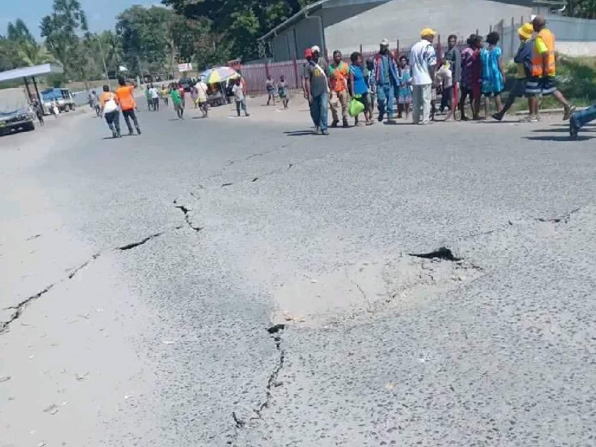
Port Moresby: An earthquake with a magnitude of 7.6 on the Richter scale jolted the Kainantu town in the eastern New Guinea region of the country at 23:46:55 GMT on Saturday, the US Geological Survey said.
The tremor was recorded 67 km East of Kainantu, Papua New Guinea. The epicentre of the quake was located at a depth of 61.4 km. The latitude of the quake was 6.224°S while the Longitude was 146.471°E.
There have been no reports of damages or casualties as of now.
Papua New Guinea lies in the “Ring of Fire”, an area in the basin of the Pacific Ocean, which is vulnerable to frequent earthquakes and volcanic eruptions.
There have been 22 M7.5+ earthquakes recorded in the New Guinea region since 1900. The largest earthquake in the region was an M8.2 shallow thrust fault event in the northern Papua province of Indonesia that killed 166 people in 1996.

