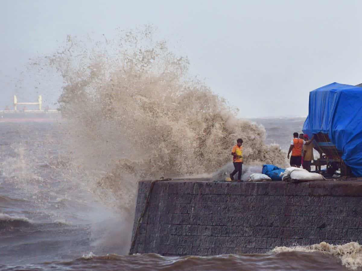
New Delhi: El Nino Southern Oscillation (ENSO), due to which water temperatures in the equatorial Pacific Ocean become cooler than normal because of the upwelling of cold water from the bottom of the sea, led to a delay in monsoon, while cyclone Biparjoy also played a crucial role in the delay, said experts.
According to private weather forecaster Skymet Weather Services Pvt Ltd, the sea surface temperatures (SSTs) in the Pacific Ocean are generally at or above normal levels near the equator. Following the end of the ‘Triple Dip La Nina’ event, below-average SST anomalies have diminished across most of the equatorial Pacific Ocean since December 2022.
From January 2023 onwards, above-average SST anomalies have intensified in the eastern equatorial Pacific. Since early April 2023, the tropical Pacific Ocean has consistently experienced SSTs that are higher than average.
“In April 2023, an El Nino ‘watch’ was issued, signaling the beginning of the warm phase of the ENSO phenomenon. Since then, all the Nino indices have remained positive-neutral or above the designated threshold. The Nino indices in the western half of the equatorial Pacific Ocean are still on the borderline, while the eastern portion consistently displays sufficient warming,” said a Skymet official.
Mahesh Palawat, Vice President of Meteorology and Climate Change at Skymet, explained that the current westerly winds, responsible for bringing the monsoon to the Indian mainland, are presently weak.
“As a result, the moisture is being drawn towards the cyclone instead of reaching the mainland. This delay in the monsoon, coupled with these weather patterns, indicates that there will be reduced amount of rainfall in the near future,” Palawat said, adding that the monsoon will be delayed in central and northwest part of the country.
“Around June 16, we can expect Rajasthan to start witnessing rainfall activities as Biparjoy will cross the coast. The western half will be more vulnerable than the eastern parts. The combined effect of western disturbance and the weaker version of Biparjoy is expected around June 17 and 18,” said the weather expert.
According to India Meteorological Department (IMD), southwest monsoon arrived in the Kerala region a week later than its usual onset date, occurring on June 8 instead of June 1. The delay was attributed to cyclone Biparjoy.
Additionally, the presence of a cyclone in the Arabian Sea is impeding the progress of the rain-bearing system, preventing it from advancing towards the interior regions of the Indian peninsula.
This monsoon delay has also impacted regions such as Maharashtra, Odisha, half of Telangana, Chhattisgarh, Jharkhand and Bihar, which typically experience the monsoon season by June 15. However, the northeast and west coasts of the country appear to be unaffected by these delays.
Unfortunately, the Bay of Bengal has not shown any indications of weather systems emerging, which are crucial drivers of monsoon.


