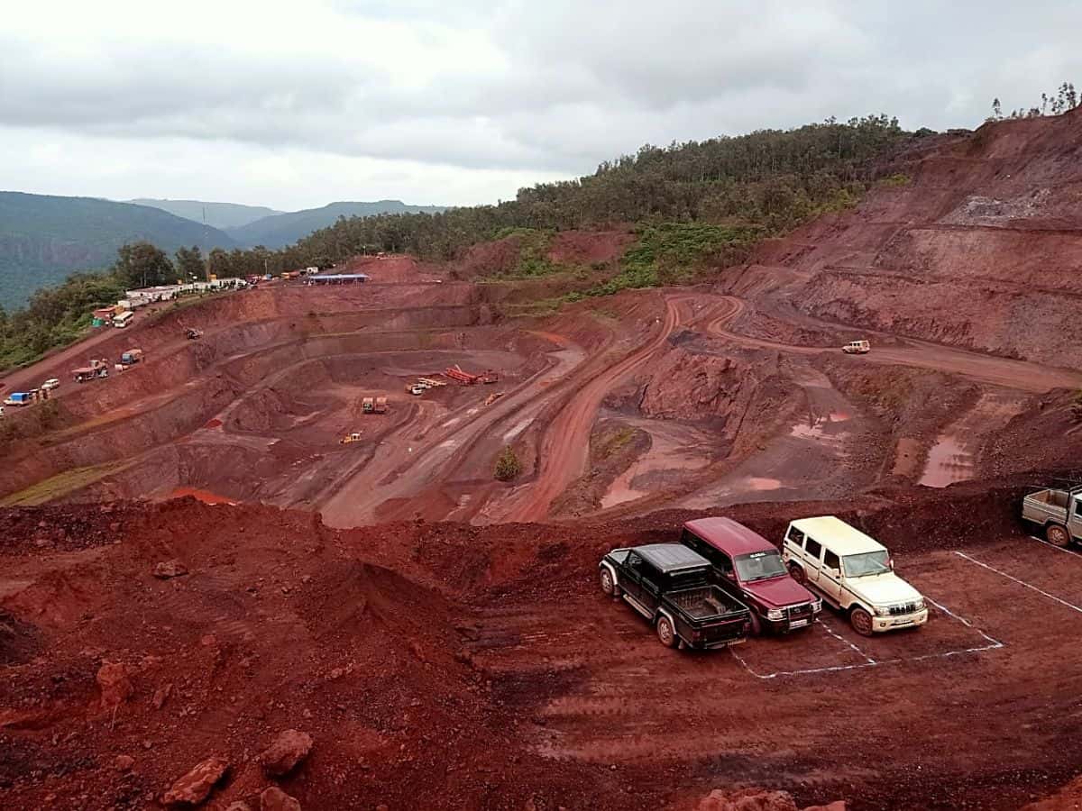
Bengaluru: As the demarcation of the inter-state border between Karnataka and Andhra Pradesh, which has been affected by illegal mining, remains incomplete, the Department of Mines and Earth Sciences has initiated a joint survey of seven B-1 category mines along the border of the two states.
The joint survey, set to begin on May 29 and continue for eight days until June 6, was announced by the Bellary District Senior Geologist in a letter to the mine owners on May 23. The survey follows a Supreme Court order from March 14, 2024, in response to a writ filed by the ‘Samaja Parivartana Community,’ led by activist S.R. Hiremath, concerning illegal mining activities in Bellary district.
The survey will involve a technical team from NITK, Suratkal, and representatives from the Departments of Forests, Revenue, Land Records, and Mines and Geology of both Karnataka and Andhra Pradesh. The Supreme Court had previously ordered a similar survey in 2022, but it was postponed until the restoration of inter-state boundary markers.
Survey Schedule:
May 29: Mahbub Transport Company mining area survey
May 30: Hind Traders mining area survey
May 31: N. Ratnaiah, survey
June 1:T. Narayana Reddy survey
June 2-4: Vibhutigudda Mines Pvt. Ltd. survey
June 5: Suggulamma Gudda Mining and Company survey
June 6: Bellari Mining Corporation survey
The border demarcation has faced significant challenges. In the Belgaum Session of 2023, the Revenue Minister noted objections to the survey conducted by the ‘Survey of India,’ and the required committee has not yet been formed. Despite these setbacks, the Karnataka government informed the Central Empowered Committee (CEC) in January 2023 that the demarcation work had been completed, leading to the Supreme Court’s March 14 order for the joint survey.
Chandrasekhar Hiremath, Senior Geologist of Bellary, stated, “While the inter-state demarcation work’s status remains unclear, the CEC has decided to proceed with the joint survey of the seven B-1 category mines. The district administration and the Department of Mines and Geology are providing full cooperation.”
Mining businessman Tapal Ganesh, who obtained a new boundary map under the Right to Information Act on March 18, 2024, questioned the legitimacy of the survey without official government signatures. “How can the border survey be completed without the government’s signature?” Ganesh asked, pointing out the absence of signatures from the chief secretary to the government and the camp officer who conducted the survey.
The Supreme Court’s directive in the “Samaja Parivarthana Community” case emphasized the need to classify mining leases in Bellary, Tumkur, and Chitradurga districts. Mines with significant illegalities were categorized as ‘C,’ those with minor irregularities as ‘B,’ and compliant mines as ‘A.’ The seven mines in question are currently classified as ‘B-1’ due to their location along the inter-state border, pending final boundary determination.
Experts argue that the mine survey can only be accurately conducted once the inter-state boundary is finalized, ensuring a clear delineation of jurisdictions and responsibilities.
