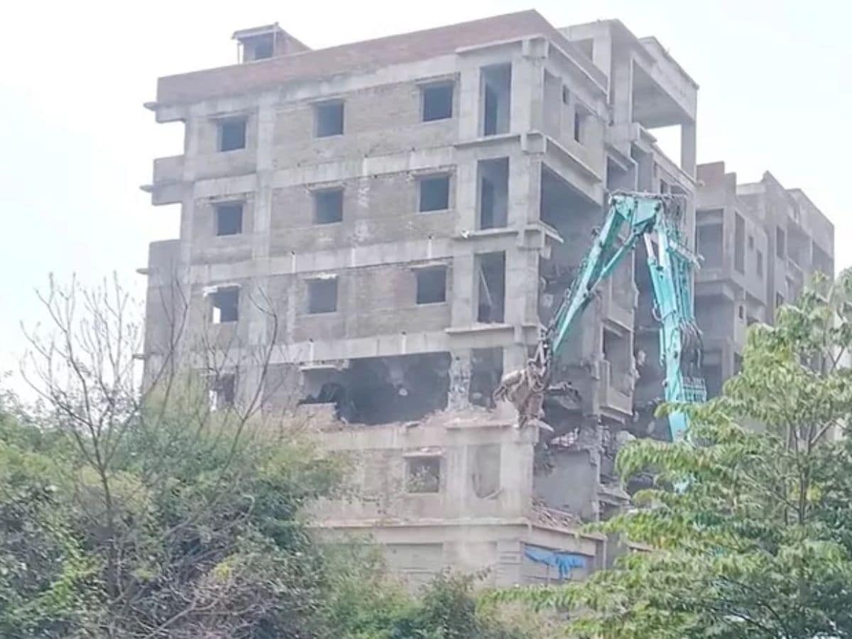
Hyderabad: The Hyderabad Disaster Response and Asset Protection Agency (HYDRA) is set to introduce a new software application designed to combat encroachments on lakes, parks, and government lands across the city. This app will allow authorities to quickly identify illegal encroachments on public lands, while also enabling citizens to file complaints about such activities.
The app will track inspections and actions taken by officials, ensuring transparency and accountability in protecting government assets.
HYDRA commissioner conducted meeting
HYDRA Commissioner and Lake Protection Committee Chairman AV Ranganath chaired a meeting on Monday with representatives from various departments, including Irrigation, Revenue, the National Remote Sensing Agency (NRSA), the State Remote Sensing Application Centre, and the Survey of India. During the meeting, the focus was on strengthening efforts to protect water bodies and green spaces from illegal encroachments.
Ranganath emphasized that HYDRA is also prioritizing the removal of debris following the demolition of illegal structures built on lake lands. In the first phase of the initiative, authorities will begin work on safeguarding lakes such as Sunnam Cheruvu, Appacheruvu, Errakunta, and Kukatpally Nallacheruvu.
Hyderabad Lake FTL to be identified
The Full Tank Level (FTL) and maximum water spread area of ponds will be identified using data collected over the past 45 years. This historical information will be cross-checked with recent data from NRSA, the State Remote Sensing Application Centre, and the Irrigation Department to accurately determine the boundaries of these water bodies.
Ranganath also stated that officials will review the 2018 Comptroller and Auditor General (CAG) report to ensure a thorough and accurate assessment of the lakes. This effort aims to ensure that encroachments are identified and addressed promptly, protecting Hyderabad’s natural resources for the future.

