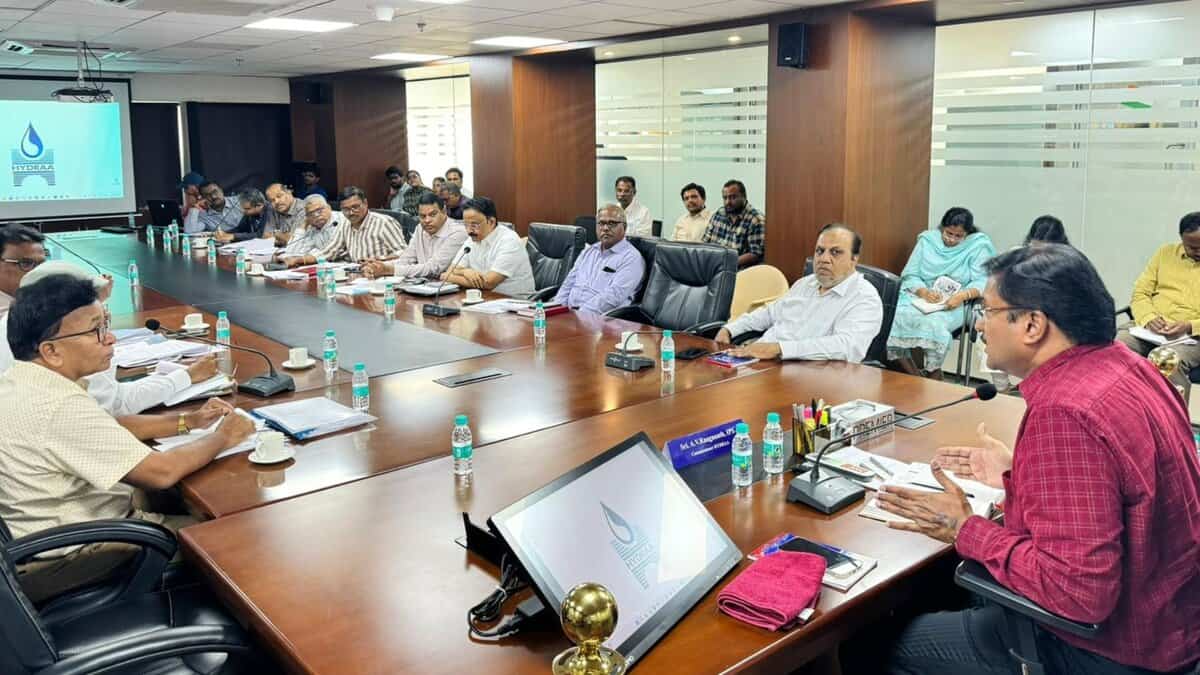
Hyderabad: To prevent future urban floods and tackle uncontrolled encroachments, the Hyderabad Urban Development and Regulatory Authority (HYDRAA) organised an expert consultation on Friday, May 16, to deliberate upon the demarcation of the limits of the Musi River and the concomitant nala (drain) network under the Outer Ring Road (ORR) boundaries.
Although HYDRAA is not a direct participant in the Musi River beautification project, the meeting was called due to increasing complaints regarding encroachments on the Musi floodplains.
Representatives from departments such as revenue, Survey of India, irrigation, hydrology, Strategic Nala Development Programme (SNDP), National Remote Sensing Centre (NRSC), GHMC, and the Musi Riverfront Development Corporation participated in the session.
Major suggestions and issues raised
The participants emphasised that it was high time that scientifically supported limits were drawn for the Musi River, especially following the heavy and frequent rains Hyderabad has seen. Citing past flood records in 1908, 1954, 2000, and 2008, specialists pointed to the ramifications of substandard drainage planning and encroachments.
A few participants suggested that the river boundaries be marked based on village and revenue records, much like how Full Tank Levels (FTLs) of lakes are defined, by determining the Maximum Flood Level (MFL) of the Musi. Satellite imagery from NRSC, hydrological research, and Survey of India maps were also suggested as a means to aid in delineating permanent, enforceable boundaries to thwart illegal constructions.
Drains, culverts and flood risk
One of the central points of discussion was the narrowing and blocking of drains in the city. Experts pointed out that of the 940 culvert points in GHMC limits, most are filled with trash, severing the natural flow of water and elevating flood risk.
They stressed that the drainage connectivity, most of which has been closed or restricted, needs to be reopened or, if possible, widened without compromising adjacent structures. Where widening is not possible, compensation measures were proposed.
Urban planners held the opinion that city master development plans should consider canal and drain construction with equal gravity as other infrastructural work, and correct hydrological surveys should determine nala layouts.
A detailed study of canal characteristics was advocated prior to the execution of new drainage or anti-flood schemes.
HYDRAA said it would summarise the expert advice and draw up further discussions to develop an action plan that would help maintain the Musi catchment’s ecological balance while protecting the city from floods.


